About the watershed
The Herring Lakes watershed is located almost entirely in the southwest corner of Benzie County and encompasses 25 square miles. Herring Creek flows through both Upper Herring Lake and Lower Herring Lake before reaching Lake Michigan. The upper watershed consists of a myriad of small tributaries flowing through primarily agricultural land, forests, and a large wetland. Herring Creek forms at the junction of various tributaries just upstream of Upper Herring Lake. Herring Creek and its tributaries drain a large area of the watershed which includes 41% forest land, 27% agricultural a livestock farms, 14% open land, 6.3% residential land, 6.4% wetlands and 2.4% water.
The primary resource concerns in the Herring Lakes watershed are fecal matter, nutrient, and pesticide contamination from residential and agricultural areas, invasive species, shoreline erosion, road/stream crossings and sedimentation.
The primary resource concerns in the Herring Lakes watershed are fecal matter, nutrient, and pesticide contamination from residential and agricultural areas, invasive species, shoreline erosion, road/stream crossings and sedimentation.
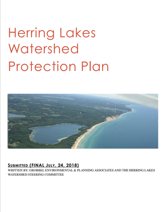
Herring Lakes Watershed Protection Plan approved!
The Herring Lakes steering committee and Grobbel Environmental and Planning Associates have been working since 2015 to update the Herring Lakes Protection plan. In 2019 the Michigan Department of Environmental Quality (MDEQ) and United States Environmental Protection Agency (U.S. EPA) formally approved the Herring Lakes Watershed Management Plan, and the steering committee members began working immediately to implement some of the pollution reduction tasks proposed in this plan.
Click the photo below to view the approved plan.
|
|